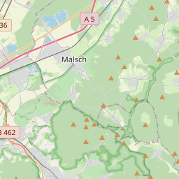
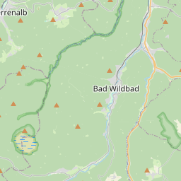
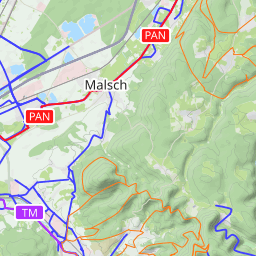
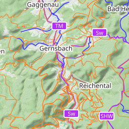
Hohlohturm bei Kaltenbronn


Leaflet | Data © OpenStreetMap contributors, Maps © Thunderforest contributors, CC-BY-SA, Imagery © Mapbox
Gesamtstrecke: 63 km
Maximale Höhe: 986 m
Gesamtanstieg: 1305 m
Gesamtzeit: 00:00:00
Download file: Pfaffenrot-Hohloh__01.gpx
Maximale Höhe: 986 m
Gesamtanstieg: 1305 m
Gesamtzeit: 00:00:00
